A BRIEF HISTORY OF MOUNT INDEPENDENCE
MOUNT INDEPENDENCE has been called the most interesting and important historic site in Vermont. It has been termed the least disturbed major Revolutionary War site in the United States today.
The Mount’s stone chert outcropping and the abundant food resources available from both East Creek and Lake Champlain attracted native peoples to this locale for thousands of years before its discovery by Europeans.
A rocky promontory jutting north into Lake Champlain directly opposite Fort Ticonderoga, Mount Independence is protected on three sides by water and steep cliffs, being accessible by road from the south only. Its elevation 200 feet above the lake and the difficult approaches made it an essential part of the American defense against a British attack from Canada during 1776 and 1777.
Upon the capture of Fort Ticonderoga by Ethan Allen and the Green Mountain Boys in May, 1775, Fort “Ty” was in a state of disrepair and Mount Independence was still a wilderness. The condition of the stone fort and its southerly posture provided little protection against an attack from Canada and the Americans accordingly began to consider erecting a new fort on the rugged plateau across the lake. The favorable possibilities of the terrain impressed General Philip Schuyler, Benjamin Franklin and Colonel Jonathan Trumbull, all of whom viewed the site. In July, 1776, the American authorities agreed to “take post” there. Because the Americans feared a reprisal following the attack on Quebec the year before, work began immediately on the new fortification. Militia were brought in from the northeastern colonies to help clear the land and start building.
News of the signing of the Declaration of Independence was received July 18, 1776. Following a reading of the document to the troops on July 28, they jubilantly christened the new fortification “Mount Independence.”
By October, the shore and horseshoe batteries had been completed with work beginning on the stockaded star fort, under the direction of Chief Engineer, Colonel Jeduthan Baldwin.
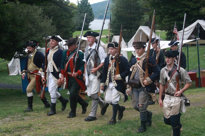
The test of this preparation came on October 28, 1776, when British ships appeared off Three Mile Point (which lay three miles from the Fort at Ticonderoga). Expecting an attack, Congress had authorized maximum strength so that the troops from the several colonies totaled over 12,000 men in 5 brigades, 3 of which were stationed at “the Mount.” The formidable appearance of the two forts with flags flying and artillery conspicuously displayed, along with the approaching winter, persuaded Sir Guy Carleton, the British commander, to withdraw his powerful forces to Canada for the season. Mount Independence and Fort Ticonderoga had accomplished their mission of defending the northern frontier with scarcely a shot fired.
With the departure of the enemy, the garrison was reduced to a minimum for the winter. However, the suffering which had accompanied the building of the fort, fever and smallpox, was augmented by the cold and the lack of supplies. One night several men froze to death in their huts and they were but a few of the hundreds who died at Mount Independence from exposure and disease.
Despite these conditions, Chief Engineer Jeduthan Baldwin started work in February on the great floating bridge connecting Fort Ticonderoga and Mount independence by building log caissons on the ice, filling them with rock, and then sinking them through the ice in the spring for use as bridge anchors. Work continued with the arrival of warmer weather; the hospital was built between April and June, 1777, and the great floating bridge and boom were secured about the same time.
In June, reports were again received of a major British advance from the north, this time with a force of about 7,000 men under the command of General John Burgoyne. American leaders had expected a campaign to be launched from British-held New York City and had not provided adequate manning in the north at Fort Ticonderoga and Mount Independence. Instead of the necessary 10,000 troops required to man the forts properly, only about 3,000 poorly equipped men remained to face the oncoming British attack and possible siege. The newly appointed commander, General Arthur St. Clair, arrived June 12 and did his utmost with his inadequate supplies and manpower to prepare the fort for attack.
The British moved relentlessly southward and began to envelop the American position on both the east and west sides of Lake Champlain, rather than attack from the lake. The British noted that the Americans had failed to fortify Mount Defiance (then called Sugar Hill) and by the morning of July 5 had cut a rough road to the top and were hauling cannon into position which would, have been ready to open on the 6th of July. Meanwhile, General Baron Von Riedesel and his British-hired German troops were working their way through the marshes of East Creek on the Vermont side, planning to cut off retreat by the Americans along the Hubbardton Road to the southeast.
General St. Clair, faced with an undermanned and undersupplied fort complex, direct observation of his movements, imminent bombardment, and the approaching cut off of his retreat route, ordered immediate withdrawal from both forts during the night of July 5-6, 1777. Fort Ti’s garrison quietly hurried across the floating bridge, and all, in turn, moved south from Mount Independence. Unfortunately, the careless burning of a building on Mount independence alerted the British to the American withdrawal, and the redcoats, under General Simon Fraser, dashed across the bridge onto the Mount just as the Americans were leaving by the south gate. Pursuit was continued to Hubbardton, where the British were checked in a bloody battle by the American rear guard commanded by Colonels Seth Warner and Ebenezer Francis, saving the main American force to face General Burgoyne in the Americans’ decisive victory at Saratoga a few months later.
Except for a short and unsuccessful American counterattack in September, 1 777, the Mount saw little further action. The surrender of Burgoyne at Saratoga on October 1 7,l 777, left the British garrison at Mount Independence and Fort Ticonderoga in an untenable position and on November 8, 1777, it evacuated after burning the Mount Independence buildings and fortifications.
After the Revolutionary War, farmers and relic hunters removed much of what had not already been destroyed, including rocks and bricks from buildings, lumber, tools, and weapons. A Vermont law of 1785 provides for the sale of cannon on Mount independence, since… “There are a number of Cannon, Mortars, Mortar Beds, Bombshells, Carriage Wheels of Cast iron in and about Mount independence which are public property, which are rendered unfit for service and may be of service in making bar iron.”
The northern half of Mount Independence was owned by the Crown Point Iron Company in the late 1800’s and was used for farming at the turn of the century. In 1912 the property was purchased by Sarah G. T. Pell who sought to preserve the site. In 1933 she deeded the land to her son, John H. G. Pell who, to ensure its perpetual conservation, deeded the property in 1952-3 to the Fort Ticonderoga Association, an educational institution chartered explicitly to ensure the conservation, interpretation, and preservation of Fort Ticonderoga and neighboring sites. The relatively untouched state of Mount Independence is due in large part to the foresight and careful stewardship of the Pell family. in 1961 the State of Vermont purchased over 100 acres just south of the land owned by the Fort Ticonderoga Association, and in 1973 the State bought an additional 8 acres at the southern tip; thus the greater part of the Mount is now protected. This unspoiled site, with its shoreline, cliffs and wooded hills, looks today much as it must have prior to its clearance and fortification more than 200 years ago.
